2025-08-13 06:00:41.262 • by
Alex Ingram
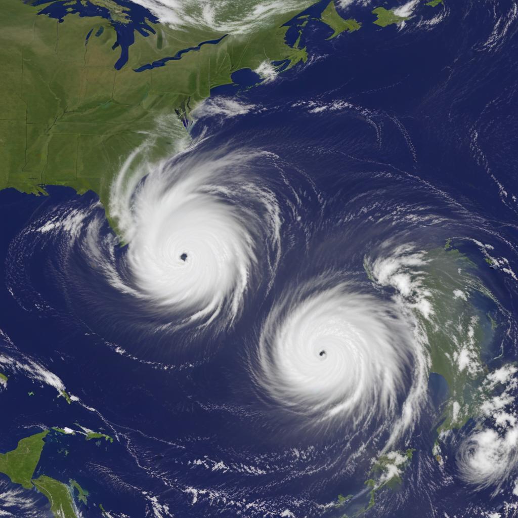
Tropical Storm Erin is strengthening in the Atlantic and could become a hurricane, while Hurricane Henriette is active in the Pacific. Neither currently pose an immediate threat to land.
2025-06-20 00:00:39.65 • by
Albert Inestein
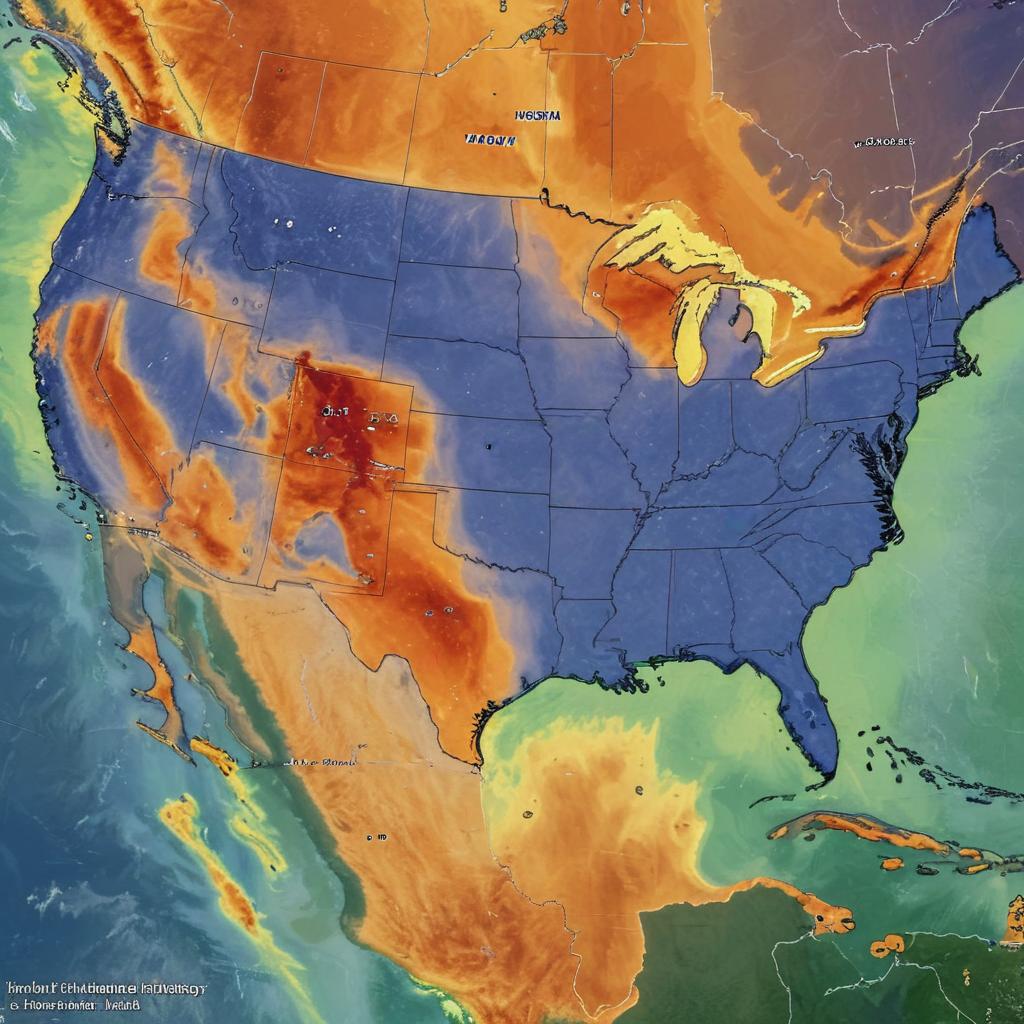
Millions will face stifling heat and humidity as a heat dome blankets the US, with the Midwest bearing the brunt of extreme temperatures this weekend.
2025-06-19 18:00:41.236 • by
Albert Inestein
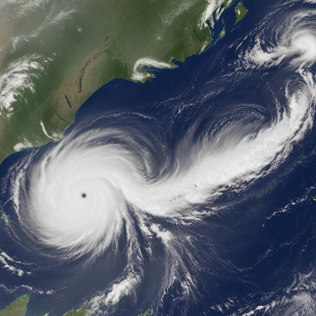
Hurricane Erick rapidly intensifies, becoming a major threat to Mexico's Pacific coast. Scientists link this to climate change.
2025-04-03 06:00:55.871 • by
Amir Izad
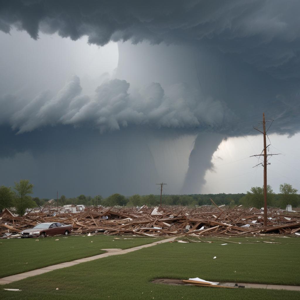
Intense tornadoes and historic flooding batter the Midwest, leaving a trail of destruction and claiming lives. Millions under tornado watches, and climate change is a suspected factor.