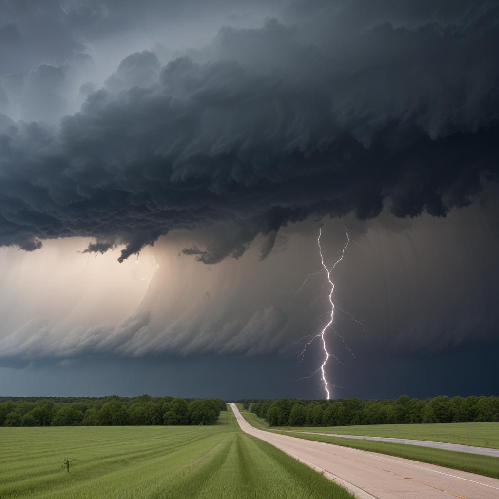
A powerful spring storm system is unleashing a dangerous combination of tornadoes, damaging winds, and potentially catastrophic flooding across the central US. Millions are under watches and warnings.
Dangerous storms are moving across the central US, placing nearly 5 million people under tornado watches in parts of Arkansas, Illinois, and Missouri. A level 5 of 5 risk for long-lived, EF3-plus tornadoes is in effect, marking a rare and significant threat. The storms are also expected to trigger multiple days of heavy rain, leading to "generational" flooding in Arkansas, Missouri, Tennessee, and Mississippi. Climate change is exacerbating the risk of extreme rainfall. Damage reports include overturned trains, downed power lines, and numerous structures destroyed in Missouri towns such as Nevada, Moundville, and Pilot Grove. While no fatalities have been reported in Vernon County, Missouri, significant damage is evident. A radar-confirmed tornado hit Pilot Grove, causing structural damage to homes and vehicles. Another tornado in Owasso, Oklahoma, downed trees and damaged homes. The National Weather Service issued dire warnings for Arkansas, emphasizing the potential for damaging winds, large hail, and long-lived EF3 or stronger tornadoes. Kentucky's governor declared a state of emergency, anticipating four days of severe weather, including widespread flooding. The Mississippi Valley faces a high risk of historic rain and floods, with a level 4 of 4 high risk of flooding rainfall in effect for parts of Missouri, Arkansas, Tennessee, Kentucky, and Illinois. Forecasters predict 2 to 6 inches of rain daily in some areas, with potential totals exceeding 15 inches by Saturday. The Storm Prediction Center and Nadocast (a machine learning model) both highlight the high risk, but Nadocast's predictions should be viewed cautiously. The speed of the storms is also a concern, giving residents minimal time to seek shelter.


