Weather
Latest in Weather
Discover the most recent articles in this category
2026-04-15 06:01:05.649 • by
Alfred Ignacio
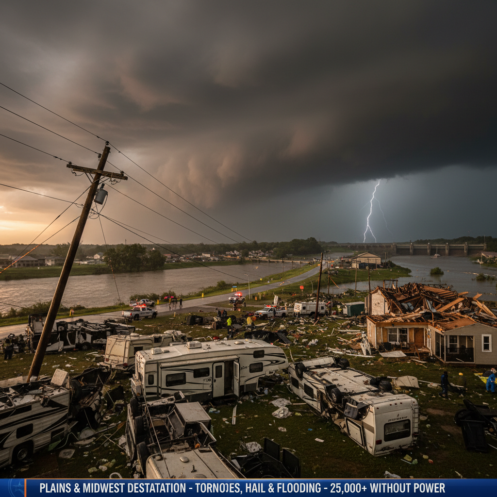
Severe storms have caused widespread damage, injuries, and power outages across the Plains and Midwest, with forecasters warning of more giant hail, tornadoes, and flooding. Communities in Kansas, Minnesota, and Wisconsin reported destroyed homes, overturned vehicles, and significant hail, while Michigan declared a state of emergency due to rising water levels.
2026-03-12 18:00:49.21 • by
Alfred Ignacio
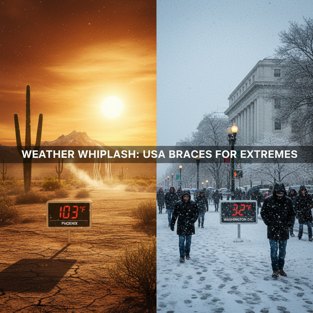
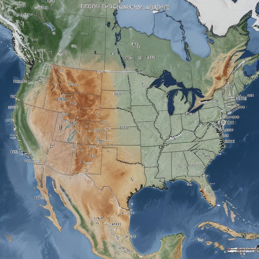
A drastic weather pattern change will bring a record-setting, potentially deadly heat wave to the West, melting snowpack and raising wildfire concerns, while winter-like cold returns to the East with significant temperature drops and chances for snow.
2026-03-11 18:01:13.348 • by
Abigail Isaacson
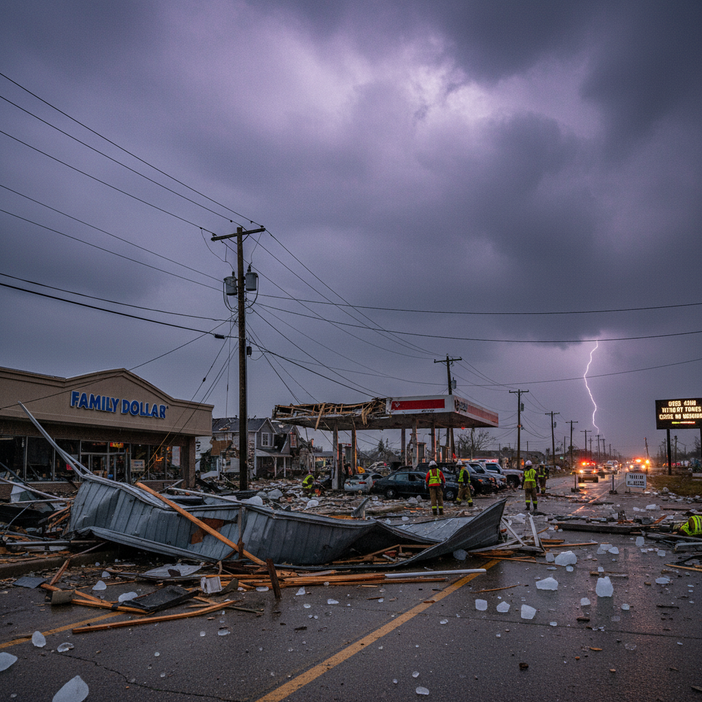
Major storms and tornadoes ripped through northwest Indiana and Kankakee, Illinois, claiming at least two lives, injuring others, and causing widespread destruction including leveled buildings, downed power lines, and massive hail. The region remains on alert for further severe weather.
2026-02-23 12:01:08.862 • by
Amanda Ireland
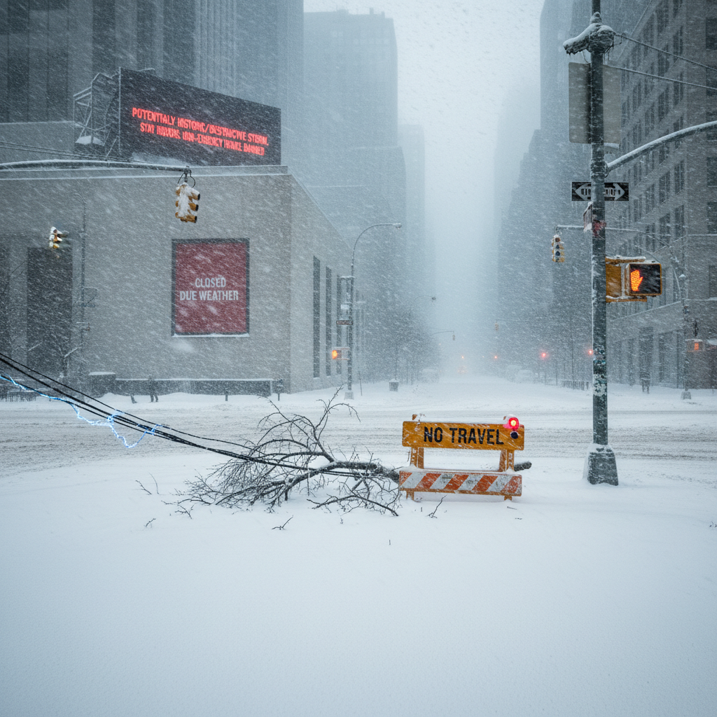
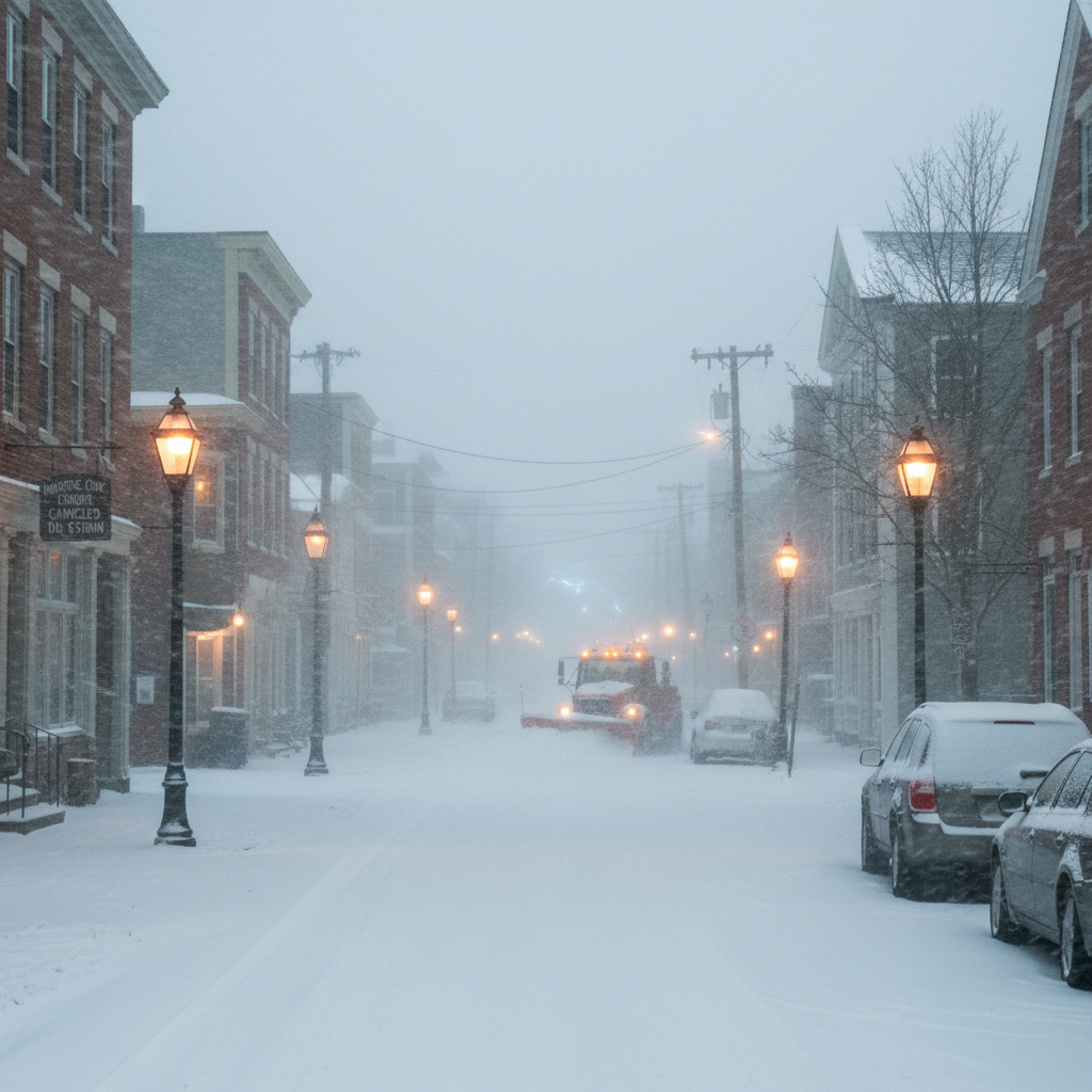
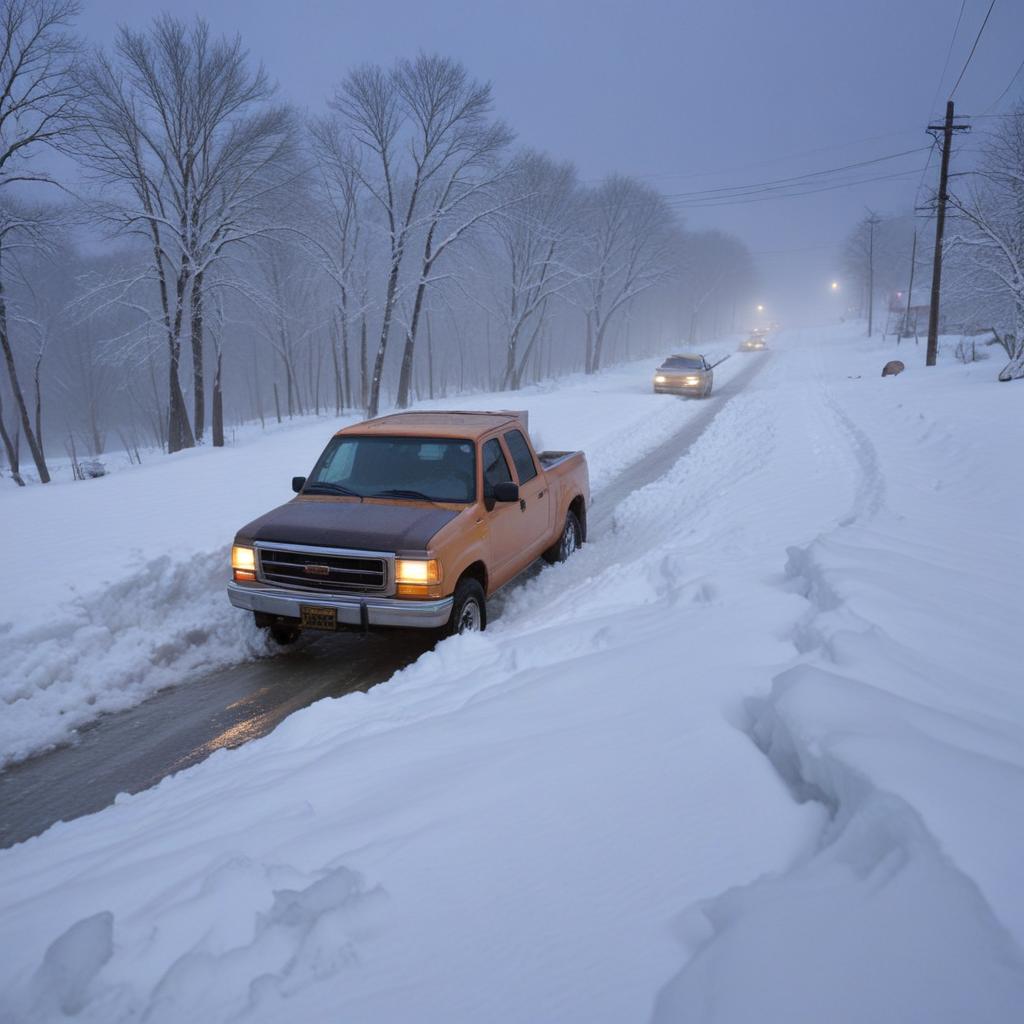
A massive winter storm has paralyzed the northeastern U.S., forcing millions into their homes with travel bans, widespread power outages, and thousands of flight cancellations amid blizzard conditions and heavy snowfall.
2026-02-22 12:01:05.291 • by
Alex Ingram
A massive blizzard is set to hit the U.S. East Coast from Maryland to Massachusetts, with forecasters warning of 1 to 2 feet of snow, damaging winds up to 55 mph, and potential flooding, leading to widespread preparations and travel warnings.
2026-02-06 12:01:16.502 • by
Amy Ivanov
America's current frigid weather feels uniquely severe, but experts say it's due to unusually warm recent decades making people less accustomed to such cold, a phenomenon exacerbated by climate change.

2026-02-03 06:01:00.64 • by
Alex Ingram
Punxsutawney Phil, braving single-digit temperatures in Pennsylvania, predicted six more weeks of winter by seeing his shadow, a forecast that disappointed many. Other Groundhog Day predictors across the U.S. and Canada offered a split verdict, with some agreeing with Phil and others forecasting an early spring.
2026-01-29 00:00:38.149 • by
Amy Ivanov
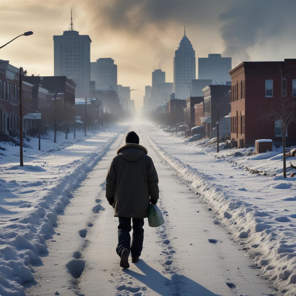
Millions across the United States are enduring an exceptional, multi-decade cold stretch, with over 200 daily temperature records expected to be broken in the eastern half of the country. Temperatures could plunge more than 30 degrees below normal, exacerbating already deadly conditions responsible for at least 50 deaths and leaving over 350,000 homes without power, particularly in the South. Cities like Philadelphia and Washington D.C. face their longest freezing spells in decades, while even Florida is experiencing its coldest blast in 15 years, leading to phenomena like falling iguanas. The intense cold is forecast to persist into next week before gradually easing.
2026-01-28 18:00:58.127 • by
Albert Inestein
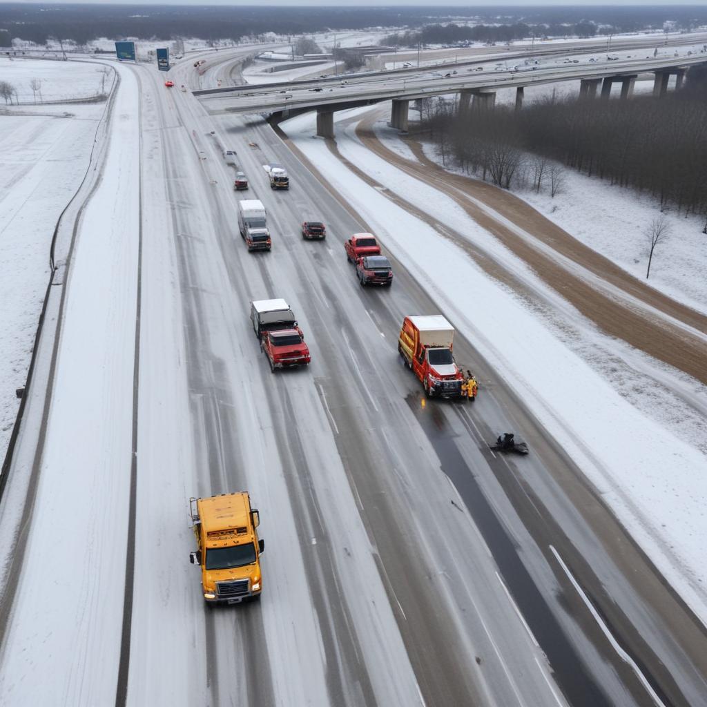
Emergency crews are working to clear icy interstate highways in Mississippi, where drivers have been stranded amidst a severe, prolonged cold snap affecting the eastern U.S. This extreme weather has led to over 380,000 power outages, primarily in Mississippi and Tennessee, and at least 50 reported deaths. Forecasters predict this could be the longest period of freezing cold in decades, with more snow expected and a rise in carbon monoxide poisoning cases in areas without electricity.
2026-01-27 00:01:06.749 • by
Albert Inestein
A massive winter storm has plunged much of the U.S. into a deep freeze, causing at least 29 deaths, widespread power outages, and over a foot of snow from the South to the Northeast. The extreme weather has halted travel and closed schools across a 1,300-mile swath, with some regions facing wind chills as low as minus 25 degrees Fahrenheit.