A deadly heatwave blankets the East Coast, shattering records and claiming lives. Millions are at risk as temperatures soar to dangerous levels.
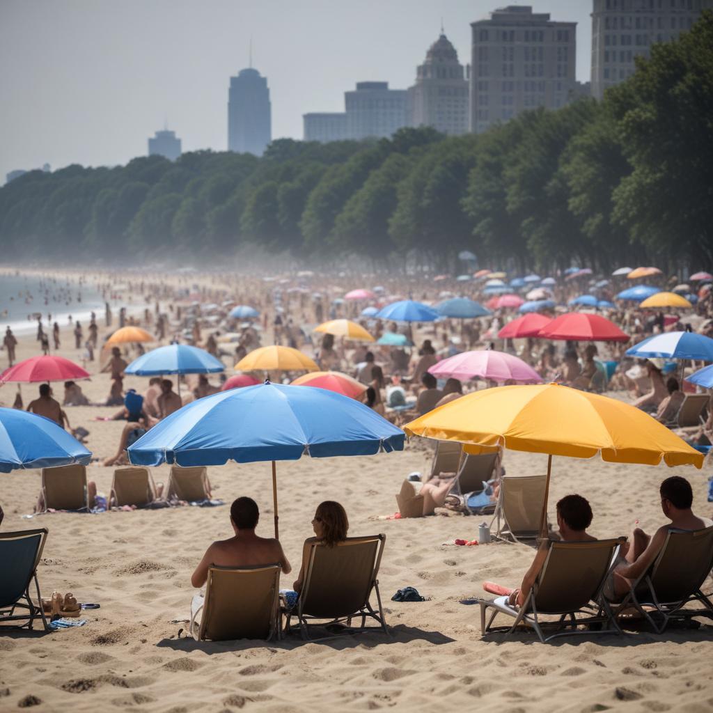
A long-lasting extreme heat wave reached its dangerous crescendo Tuesday, bringing the hottest day in a decade to some major East Coast cities and putting millions of already fatigued Americans at risk. The brutal conditions, spurred by a potent heat dome, peaked Tuesday after building over the weekend in the central US and reaching levels rivaling summer’s hottest weather in the East Monday. It’s already taken a serious toll. A St. Louis-area woman died after going without water or air conditioning for at least three days, police said Tuesday. The region has been gripped by searing heat that often felt above 100 degrees in recent days. The 55-year-old was discovered in her home Monday, according to St. Ann Police Chief Aaron Jimenez. Here’s what else has happened: Nearly 160 million people in the eastern half of the US were under heat alerts Tuesday, according to the National Weather Service. Heat remains the deadliest form of extreme weather in the US. Globally, heat waves are becoming more frequent, more severe and longer-lasting as the world warms due to human-caused climate change. Nighttime temperatures are taking the hardest hit from climate change, and are warming faster than daytime highs. Record-breaking heat continues Tuesday was the hottest day of the week for many in the East, but a level 4-of-4 extreme heat risk is in place through at least Thursday that stretches from the Midwest to the Mid-Atlantic and includes parts of the Northeast. It felt more like July, summer’s hottest month, than June for many locations Tuesday as temperatures rise 15 to 20 degrees above normal. Multiple major cities along the I-95 corridor were at or near 100 degrees by the mid-afternoon. Boston reached 102 degrees, setting a new June high temperature record. Also in Massachusetts, the New Bedford-Fairhaven swing bridge – located in the southern part of the state along Route 6 – will be closed for several hours due to “heat impacts,” the Massachusetts Department of Transportation said in a news release Tuesday evening without disclosing how the heat has impacted bridge operations. Philadelphia also marked its first 100-degree temperature reading since 2012, reaching 101 degrees Tuesday, setting the record for the city’s hottest-ever day this early in the summer. The city broke Monday’s daily high temperature record when it reached 99 degrees. Records were also broken in Providence, Rhode Island where temperatures reached 100 degrees – a new June high temperature record. Meanwhile, Newark, New Jersey reached 103 degrees, tying with the current June high temperature record. New York City nearly hit 100 degrees for the first time in over a decade on Tuesday; the temperature in Central Park was hovering around 99 degrees by mid-afternoon. New York City’s last triple-digit temperature happened on July 18, 2012, but it hasn’t been 100 degrees during June since 1966 – nearly 60 years. In parts of the city, temperatures climbed above the three-digit mark. John F. Kennedy International Airport, in Queens, hit 102 degrees on Monday afternoon – the first time since 2013 and the first time ever in the month of June. LaGuardia Airport, also in Queens, saw a high temperature of 101 degrees, tying its record for the month of June. Con Edison, New York City’s main energy provider, asked millions of customers to conserve energy and protect its power grid as temperatures soar. “By working with all our customers to cut usage during peak demand, we protect the system and support neighborhoods individually,” the energy company said in an X post Tuesday afternoon. Washington, DC, reached a scorching 99 degrees, almost seeing its first 100-degree day of the year on Tuesday – something that doesn’t typically happen until mid-July. Rail temperatures in the capital city reached 135 degrees, the Metro system said in a post on X, forcing operators to slow train speeds. When will it end? Parts of the East Coast will start to see some relief from the historically hot weather Wednesday, though it’ll be a slow start. Wednesday will still be very hot, but not quite as extreme for many. Record-breaking temperatures are possible, mainly in the mid-Atlantic, but triple-digit temperatures will be a thing of the past for the Northeast. Heat more typical of late June will arrive on Thursday, but it will still be quite warm in the morning and prolong the agonizing wait for relief. Much of the Northeast will see highs in the 70s, with 80s and a few lingering 90s in the Mid-Atlantic. Cooler, more typical, overnight low temperatures will finally reappear Friday in the East, and normal late-June heat will last through the weekend. But temperatures are likely to creep back up above average early next week. This week’s heat wave is likely only the opening act of a hot summer to come for the East. A hotter than normal summer is expected for the entire Lower 48, according to the Climate Prediction Center.