A powerful El Niño, potentially a 'super' one, is highly likely to emerge this summer, threatening to unleash extreme weather events, push global temperatures to record highs, and cause widespread climate disruptions like severe droughts and supercharged rainstorms across different regions.
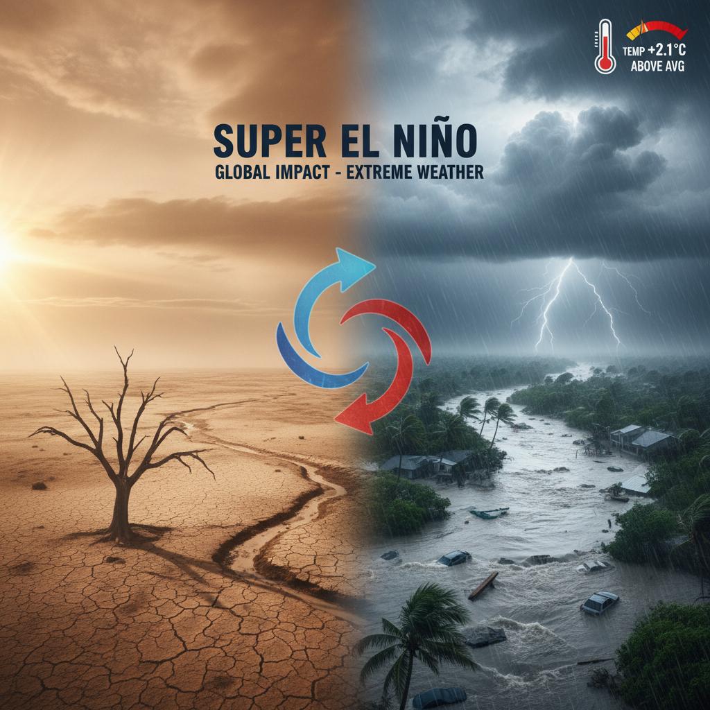
Experts warn of a high likelihood that a strong, possibly "super" El Niño, will develop this summer, potentially pushing global temperatures to record highs next year and supercharging extreme weather events. El Niño, characterized by above-average sea surface temperatures in the central and eastern tropical Pacific, is part of the El Niño-Southern Oscillation (ENSO) cycle. This phenomenon significantly impacts global weather patterns by altering jet streams and precipitation, leading to severe droughts in some areas (e.g., Australia, parts of Africa, Amazon) and heavy rainfall in others (e.g., southern US, Middle East). While currently shifting from La Niña to neutral conditions, models indicate a 62% chance of El Niño emerging this summer. A "super El Niño" signifies a rare event where ocean temperatures spike at least 2°C above normal, amplifying its devastating effects. Although spring forecasts have a "predictability barrier" and underlying warming trends can skew model readings, the probability of a significant El Niño event is high. Scientists emphasize the importance of these forecasts for global preparation in climate-sensitive sectors to mitigate economic losses and save lives, especially given that the recent 2023-24 El Niño contributed to record global temperatures.