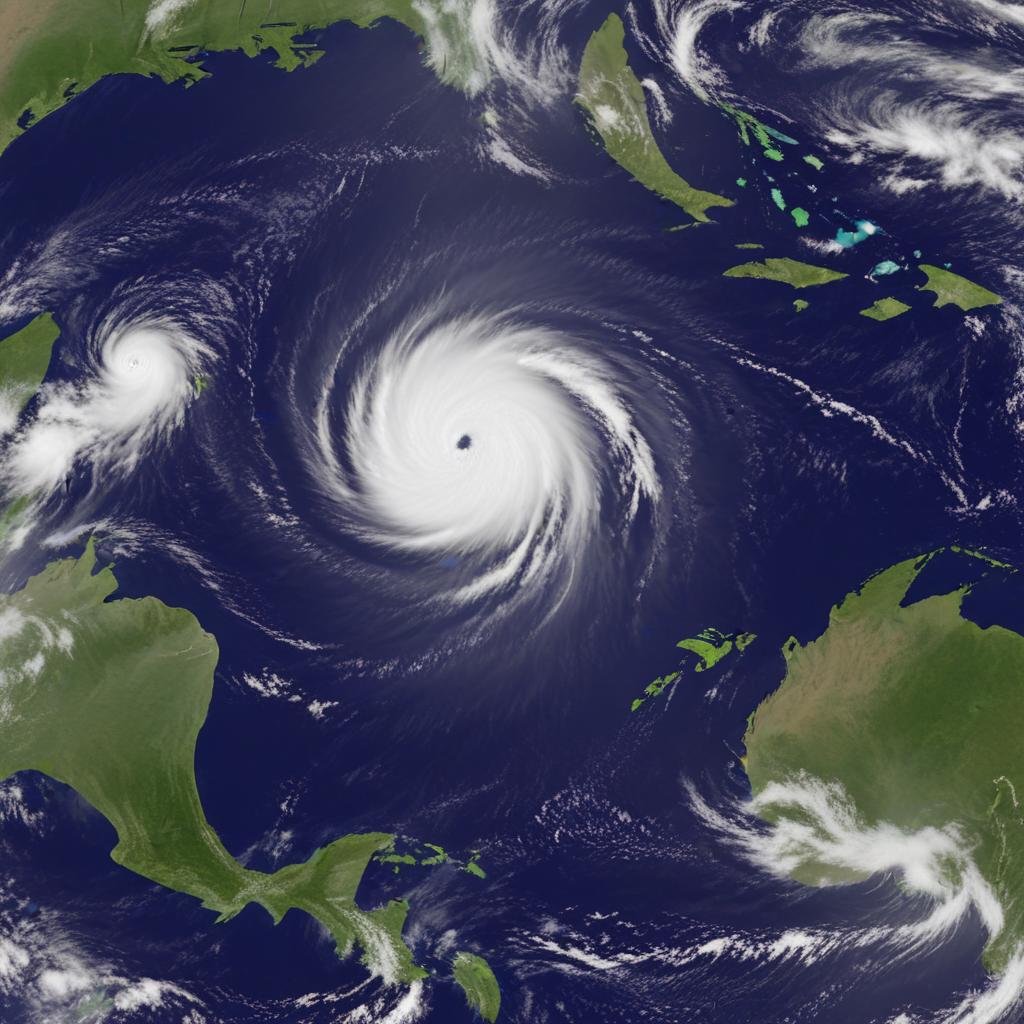
Hurricane Erin rapidly intensifies into a Category 5 hurricane, threatening the northeast Caribbean with heavy rains and flooding, despite its center remaining at sea.
Hurricane Erin intensified into a Category 5 storm in the Atlantic, rapidly escalating from a tropical storm in just one day. While its center is not expected to make landfall, it poses a significant threat of flooding rains to the northeast Caribbean. The hurricane's maximum sustained winds reached 160 mph (255 kph), more than doubling in 24 hours. The National Hurricane Center warned of potential flash flooding, landslides, and mudslides, issuing tropical storm watches for several islands. Despite its compact size initially, Erin is expected to grow significantly. The rapid intensification is considered unusual, especially for this time of year, with only four other Atlantic hurricanes reaching Category 5 status this early in the season. Scientists attribute such rapid intensification to climate change, linking it to warmer ocean temperatures and increased water vapor in the atmosphere. While the storm's eye is expected to remain offshore, powerful rip currents are anticipated along the U.S. East Coast. In Puerto Rico, residents and tourists largely continued their daily routines despite warnings, while the U.S. government deployed FEMA and other agencies as a precaution. The Bahamas also prepared shelters.