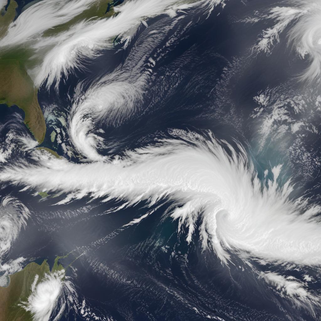
A severe winter storm, fueled by a stretched polar vortex linked to a warming Arctic, is set to bring devastating subzero temperatures, heavy snow, and crippling ice to the eastern two-thirds of the U.S. starting this week and lasting into February.
A devastating winter storm, originating from a stretched polar vortex influenced by unusually warm Arctic waters and cold continental land, is poised to strike the eastern two-thirds of the United States. Meteorologists warn that the event, which has roots in climate change and record-low Arctic sea ice, could rival the damage of a major hurricane. Expected to begin Friday and persist through late January into early February, the storm will bring widespread subzero temperatures, heavy snow, and powerline-toppling ice. Approximately 230 million people face temperatures of 20 degrees Fahrenheit (-7 degrees Celsius) or colder, with 150 million likely to experience snow and ice, stretching from New Mexico to New England and across the Deep South. Experts like Ryan Maue and Judah Cohen highlight that changes in the Arctic, including low sea ice and heavy Siberian snowfall, have "loaded the dice" for this severe weather pattern. The core of the cold will settle over areas like Duluth, Minnesota, bringing temperatures as low as -25 to -30 degrees Fahrenheit in the North and Midwest. Treacherous freezing rain is expected from the southern plains to the Carolinas, threatening significant power outages and tree damage, while heavy snowfall is forecast for regions including the Ozarks, Tennessee and Ohio valleys, Appalachians, and the mid-Atlantic, with potential for multiple blizzards.


